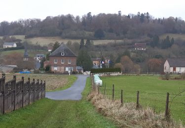
7.8 km | 8.7 km-effort
chemin de la Baronniere
ymarvin
User
Length
6.6 km
Max alt
193 m
Uphill gradient
79 m
Km-Effort
7.7 km
Min alt
145 m
Downhill gradient
78 m
Boucle
Yes
Creation date :
2020-06-14 11:30:14.19
Updated on :
2020-06-14 13:02:27.757
1h31
Difficulty : Easy
FREE GPS app for hiking
About
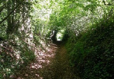
Trail Walking of 6.6 km to be discovered at Normandy, Eure, La Chapelle-Hareng. This trail is proposed by ymarvin.
Description
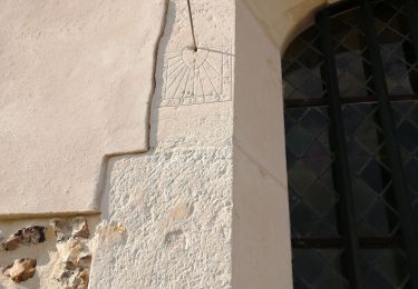
Balisage jaune, parking et aire de pique nique face à l église
Positioning
Country:
France
Region :
Normandy
Department/Province :
Eure
Municipality :
La Chapelle-Hareng
Location:
Unknown
Start:(Dec)
Start:(UTM)
311300 ; 5443337 (31U) N.
Comments
Trails nearby
Courtonne les deux Eglises
Walking
Medium
Courtonne-les-Deux-Églises,
Normandy,
Calvados,
France
12.9 km | 15.6 km-effort
2h 43min
Yes
La chapelle Hareng
Other activity
Very easy
(1)
La Chapelle-Hareng,
Normandy,
Eure,
France
6.1 km | 7.1 km-effort
1h 40min
No
St Julien de mailloc
Walking
Medium
Valorbiquet,
Normandy,
Calvados,
France
7.9 km | 10.2 km-effort
2h 23min
Yes
Chemin de la Fontaine au Dragon - La Chapelle-Hareng
Walking
Difficult
La Chapelle-Hareng,
Normandy,
Eure,
France
15.8 km | 17.3 km-effort
4h 0min
Yes
Chemin de la Baronnière - La Chapelle-Hareng
Walking
Easy
La Chapelle-Hareng,
Normandy,
Eure,
France
6.3 km | 7.3 km-effort
1h 34min
Yes
Chemin des Housiaux - Thiberville
Walking
Medium
Thiberville,
Normandy,
Eure,
France
12.6 km | 13.4 km-effort
3h 10min
Yes
Chemin de la Fontaine - Barville
Walking
Medium
(1)
Barville,
Normandy,
Eure,
France
8 km | 9 km-effort
2h 0min
Yes